If you have any questions, please contact us, we will contact you as soon as possible.
-
Luis Alfonso Colado Velazquez
Dear Kolida Support Team,
I am writing to request access to the Kolida Geo Office software. I currently own and operate two Kolida K7 GNSS receivers, and I would like to use Kolida Geo Office for GNSS data post-processing and office workflows associated with these units.
However, I have not been able to find any official download link for Kolida Geo Office on your website or through authorized distributors. I would appreciate it if you could please provide:
The official download link for Kolida Geo Office
Information on software licensing requirements (if applicable)
Any user manuals or installation guidelines relevant to the Kolida K7
This software is essential for processing static and RTK-derived datasets generated in professional surveying and research projects.
Thank you in advance for your support. I look forward to your response.
Kind regards,
Luis Alfonso Colado Velázquez
Mexico
2026-01-11 02:25:44
From Mexico
-
Omar Faruque
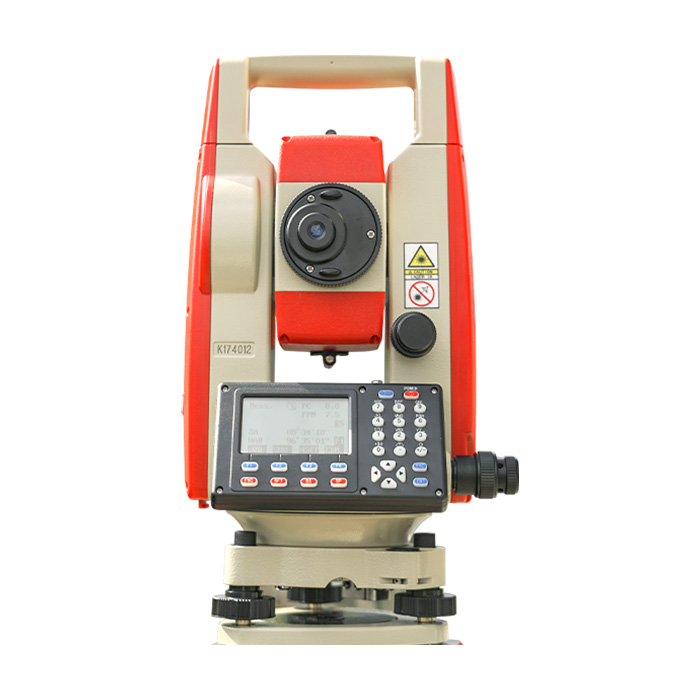
Hi, hoq are you. I have a query. I need you information. Today i bought a Total Station. Model: Kolida KTS 442UT. Serial # K172877. This is International Global Version or Chinese version? Please ensure me.
Thanks
2025-12-28 22:32:46
From Bangladesh
-
Muhammad Waqar Ayub
KLD-32B Auto Level
KL-32 Automatic Level
We have a requirement auto level for company Etihad Town in Pakistan, vendor offer both models with different prices but these models did not show on your official website, kindly reply on it and also explain in detail
2025-12-06 15:13:13
From Pakistan
-
Eng Ghassan Ali
Subject: Distributor Application for KOLIDA Products in Iraq
Hello KOLIDA Team,
My name is [Ghassan Ali], and I am contacting you from Iraq. I am interested in becoming an authorized distributor for KOLIDA surveying equipment in my country.
I have strong experience in the surveying field, working with GNSS RTK systems, total stations, drones (RTK/PPK), Pix4D, and data processing software. I also work with local engineers, construction companies, surveyors, and drone operators, which gives me a solid customer base and a good understanding of the Iraqi market.
I believe that KOLIDA products fit the needs of our market very well, especially GNSS RTK, total stations, and accessories. I am ready to handle:
Sales and marketing
Training and technical support
After-sales service
Building a long-term partnership with your company
I am interested in purchasing an initial order and starting cooperation as a distributor or dealer for your products in Iraq.
Please provide me with information about:
1. Minimum order requirements
2. Distributor price list
3. Shipping options to Iraq
4. Warranty and support terms
I am ready to start cooperation immediately and build a strong presence for KOLIDA in the Iraqi market.
Looking forward to your reply.
Thank you.
Best regards,
2025-12-06 02:02:46
From Iraq
-
Jacques Denis
Hello, my name is Jacques. I am contacting you because I wish to acquire equipment for my company based in Cameroon. We are a young group of entrepreneurs in the civil engineering field, and on behalf of my partners and myself, I am seeking a partnership to not only equip ourselves with total stations, GNSS receivers, and even Lidar, but also to become an official reseller in Cameroon and even in our sub-region of Central Africa. How does your partnership program work? If necessary, we are willing to travel to your premises for greater transparency. Sincerely.
2025-12-03 04:41:50
From Cameroun
-
Oliver Noah
Hello Dear,
We need your company product details, Prices, Catalog with good prices and your payment terms. Also Would like to know the lead-time for your production. Looking forward to your earliest response.
Best Regards
Oliver Noah
Sales Support Manager
somastemfg Trading LLC
Rue Jean Lorette 449 Belgium
WhatsApp: +971 5294 30382
Telegram: +971 5294 30382
Vibes: +971 5294 30382
Skype/teams:
live;cid.44144f138dac0d1d
Email: oliver.07@somastemfg.com
2025-11-29 10:31:30
From Belgium


