
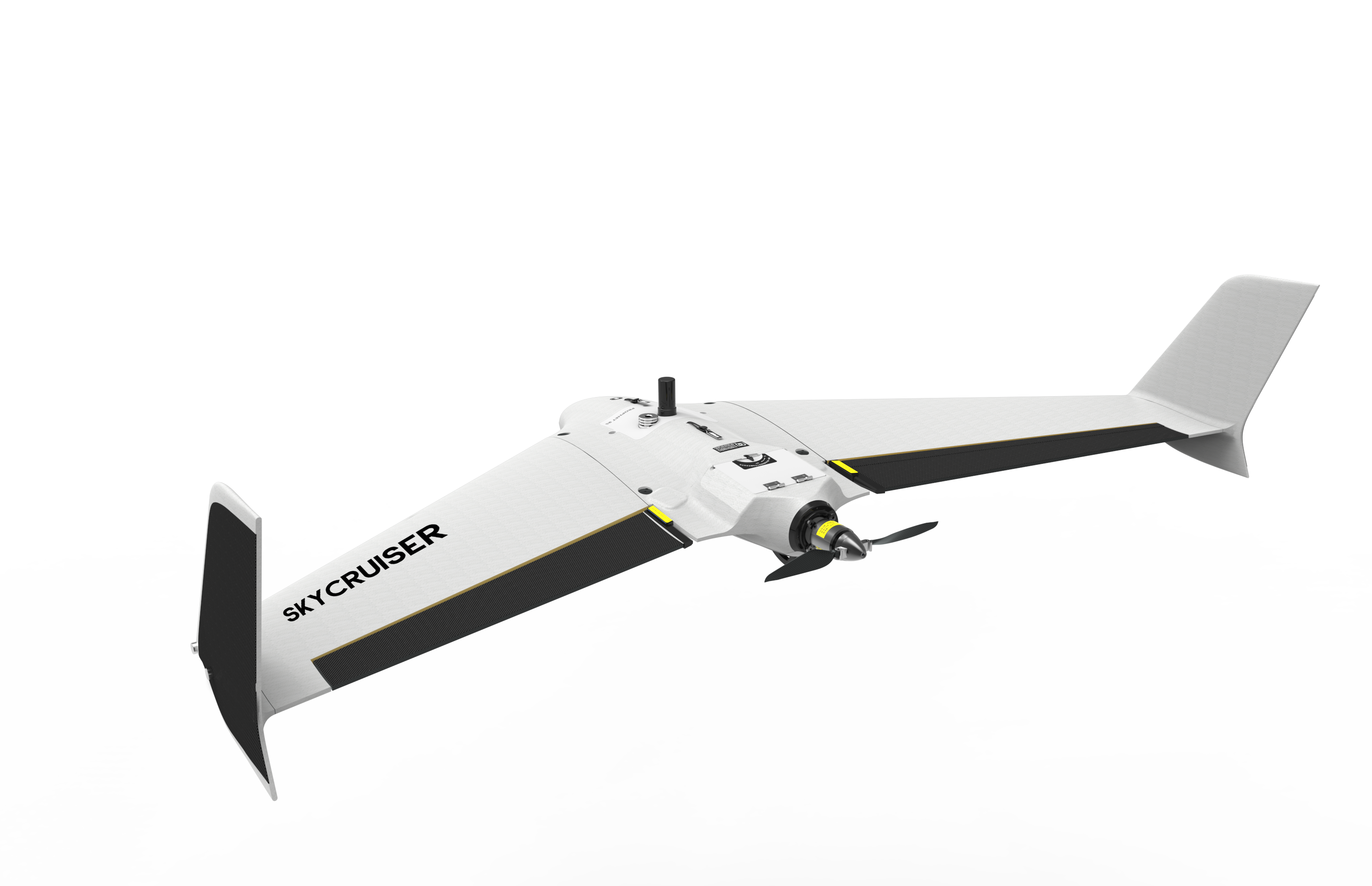
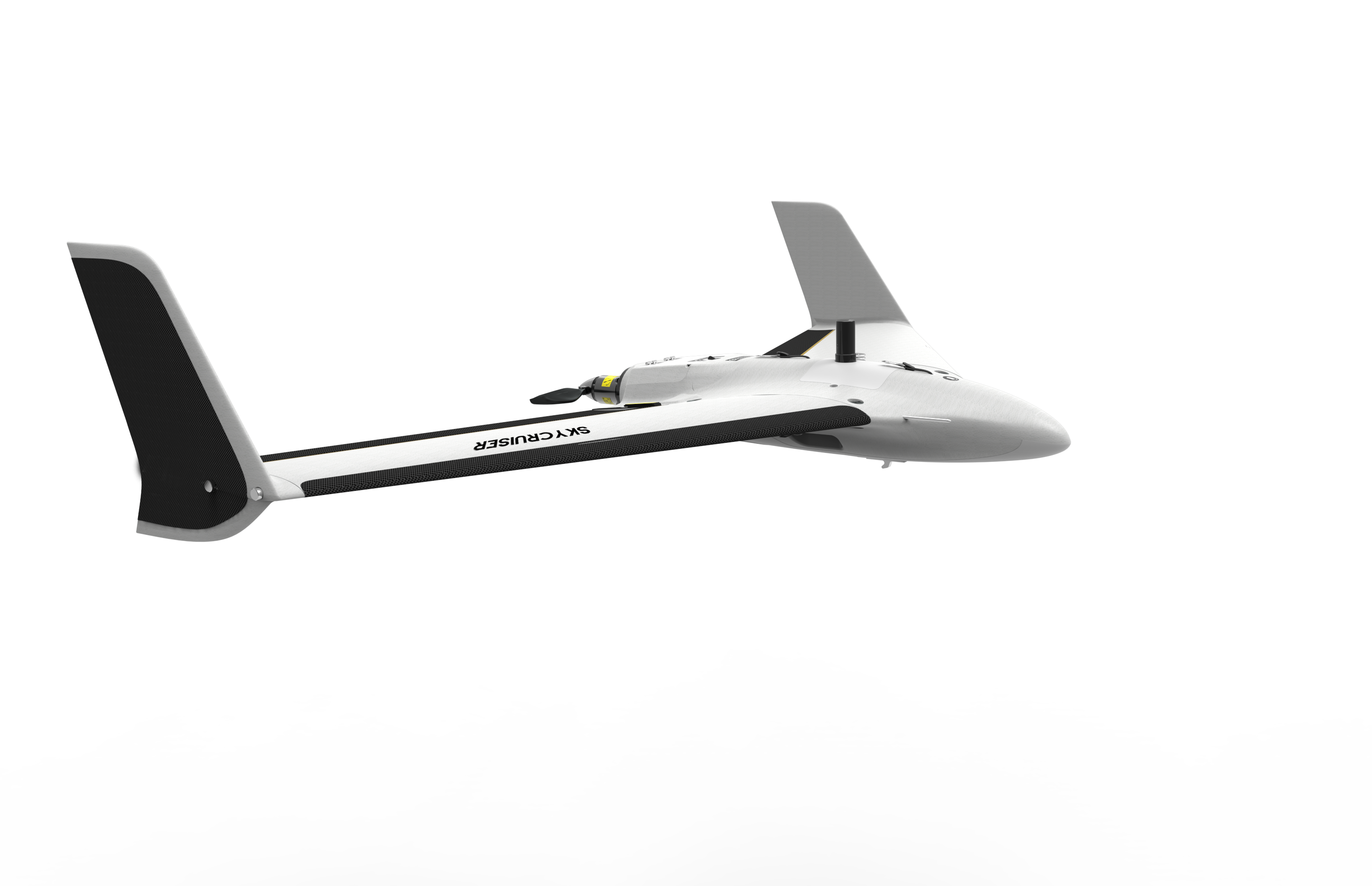
SkyCruiser FLYme (Discontinued in 2020)
Flgiht endurance |  | Imaging sensor | |
Pre-flight setup | | Typical radio communication range | |
 | Quick hand launch, easy to learn 3-4 hours to learn takeoff, 2-3 flights to learn GCS operation. |
 | Precise parachure landing Precise parachure landing in 6m radius circle. |
 | Multi-task planning in a signle flight For the flight zone with complicated terrain conditions, a single flight mission consisting of several separate zones might be defined to deal with the blocks of different flight heights. Multi-task plannind function can plan the flight route of several separate survey areas in one flight, which will improve the efficiency for mission planning greatly as well as shorten the time of indoor post processing. |
Large Area Photogrammetry When the survey zone is too large to finish within a single flight, you might still keep it as one flight mission. Upon a second flight, the remained survey zone would be followed up automatically without extra flight planning. |  |
 | Multiple safety controls The independently designed flight control enables SkyCruiser FLYme a multiple safety control system, which make the users worry free from drone crash or drone loss. |
|
|
Topographic survey | Road survey
|
|
|
Urban planning | Powerline inspection
|
|
|
Topographic survey | Road survey
|
|
|
Urban planning | Powerline inspection
|
See more specs
1661
Brochure.pdf
PDF [329.318KB] download
KOLIDA Instrument (KOLIDA) is a leading manufacturer of precision surveying equipment.
COMPANY PROFILE


