


15-40 km Ultra Long Range |  | All Constellation Signal Tracking | | | Robustness |
|
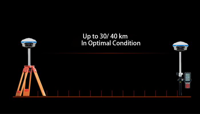
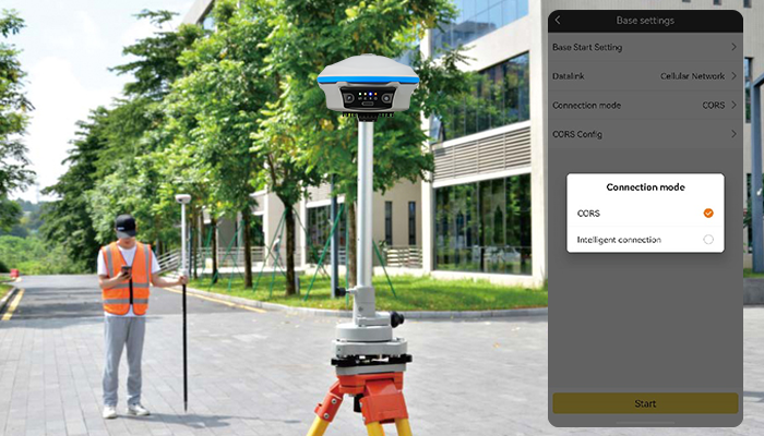
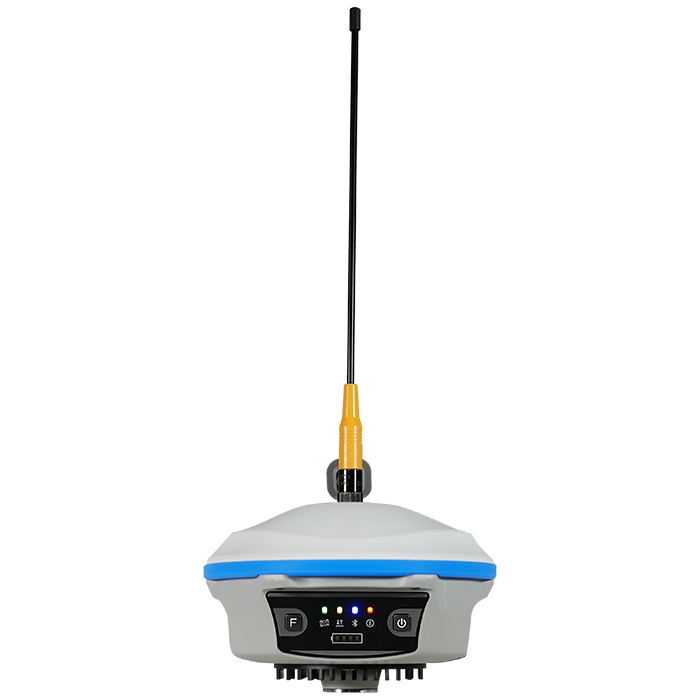
| The All-New 5-Watt Farlink Radio The K5 Max is equipped with a 5W high-power radio module. The enhanced Farlink Pro protocol enables it to have a maximum working range of over 30 km in optimal conditions. |
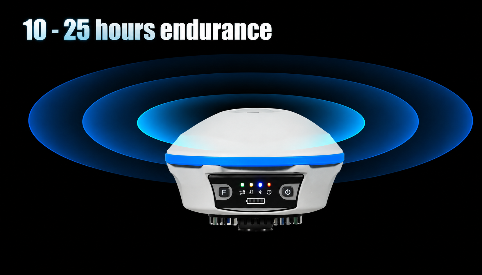
Working Longer, Stop Less. Thanks to the low consumption operation system design, K5 Max can work up to 10 hours in RTK base mode and up to 25 hours in rover mode, up to 27 hours in static mode. (Environment temperature is 25℃) K5 Max can be recharged by Type-C USB connector. |
|
|
| Advanced Multipath Mitigation Improve positioning accuracy with advanced multipath mitigation algorithms. The K5 Max ensures that high-quality GNSS corrections are transmitted to rovers for optimal performance in challenging environments. |
Intelligent Transmission,Stable Data Connection. By choosing Intelligent Connection option, K5 Max is able to transmit differential data through radio and network at the same time. Automatic switching to network mode beyond radio range keeps surveying continuous and efficient. |
|
| Satellite Tracking Ability | ||
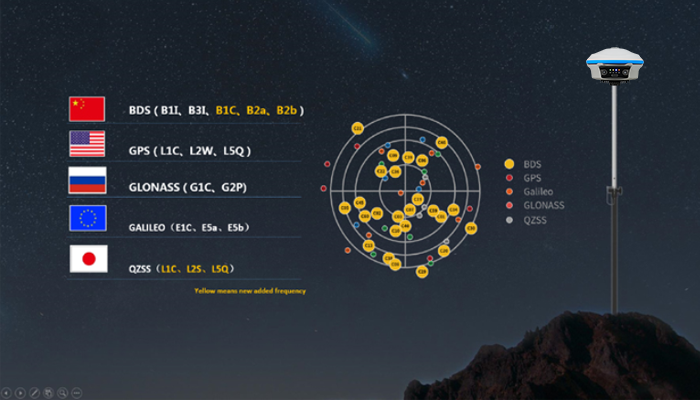
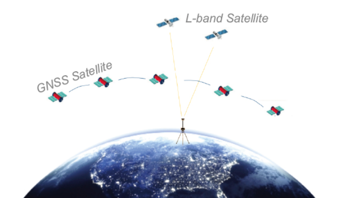
Channels1598 channels | Constellation GPS, GLONASS, BEIDOU, GALILEO, QZSS, SBAS | L-BandB2b, available to work in Asia-pacific region |
| Positioning Output Rate1-20 HZ | Initialization Time2-8 s | |
| Positioning Precision | ||
Static and Fast-Static Horizontal ±2.5mm +0.5 ppm | Network RTKHorizontal ±8mm +0.5 ppm Vertical ±15mm +0.5 ppm | RTK Initial time 2-8s |
| User Interaction | ||
Operation SystemLinux | Screen Display1.3 inches color touch screen | wifiYes |
Voice Guideyes, 8 language | Data Storage16 GB internal, 64 GB external | Web UIYes |
| Keypad2 physical buttons | ||
| Working Capability | ||
RadioNot-Available | Tilt Survey Inertial Measurement | Electronic BubbleYes |
| Endurance up to 25-30 hours (static mode), up to 20-27 hours (rover mode), up to 10 -14 hours (base mode) | OTG (Field Download) yes | |
| Satellite Tracking Ability | ||
Channels1598 channels | Constellation GPS, GLONASS, BEIDOU, GALILEO, QZSS, SBAS | L-BandB2b, available to work in Asia-pacific region |
| Positioning Output Rate1-20 HZ | Initialization Time2-8 s | |
| Positioning Precision | ||
Static and Fast-Static Horizontal ±2.5mm +0.5 ppm | Network RTKHorizontal ±8mm +0.5 ppm Vertical ±15mm +0.5 ppm | RTK Initial time 2-8s |
| User Interaction | ||
Operation SystemLinux | Screen Display1.3 inches color touch screen | wifiYes |
Voice Guideyes, 8 language | Data Storage16 GB internal, 64 GB external | Web UIYes |
| Keypad2 physical buttons | ||
| Working Capability | ||
RadioNot-Available | Tilt Survey Inertial Measurement | Electronic BubbleYes |
| Endurance up to 25-30 hours (static mode), up to 20-27 hours (rover mode), up to 10 -14 hours (base mode) | OTG (Field Download) yes | |
See more specs
31

K5 MAX en 260825.pdf
PDF [1.58MB] download

KOLIDA Instrument (KOLIDA) is a leading manufacturer of precision surveying equipment.
COMPANY PROFILE