


New Generation GNSS Chip |  | All Constellation Signal Tracking | | | Robustness |
 | The Brand New GNSS Chip: S805 The S805 GNSS chip features new chip design and dual-engine algorithm, which is able to eliminate the false-fixed solution status and make compensation to the error by ionospheric delay, to improve the reliability of measurement result and working efficiency in harsh environment. |
Dual-Engine Algorithm, Enhanced Performance K9s carries new algorithm which can compensate the error by ionospheric delay. No matter working on where ionosphere is active or doing network RTK positioning over a long distance (10-40km), it can help you obtain better accuracy result. |  |
 | More Advanced IMU Tilt Survey With the latest upgrade of KOLIDA's IMU tilt survey technic, the working status of IMU module won't be interrupted when surveyor rotates the pole or changing their walking direction. It greatly saves time and smoothies the work flow. |
New Radio, Farlink 2.0 Farlink technology is developed to send large number of data and avoid data loss. This new protocol improves the signal-catching sensitivity from -110db to -117db, so K50 can transmit to 10 even 15 km away by only 2 watt power consumption (in optimal environment condition). |  |
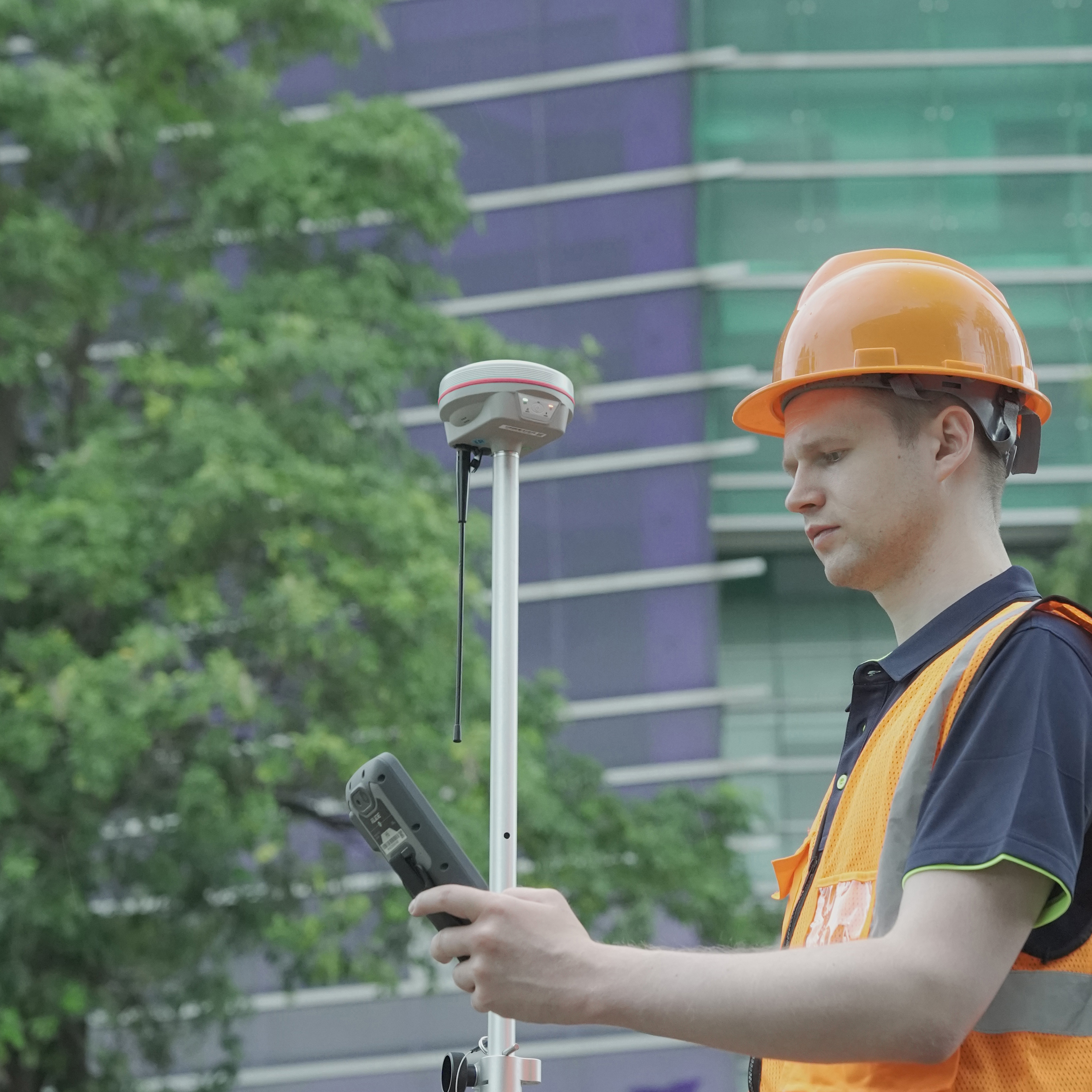
 | Ksurvey App, Increase Your Output. Ksurvey App features a series of practical and unique functionalities: Measure & Draw, CAD Drawing, Visual Positioning, CAD Stakeout, Area Division... (Video: https://www.youtube.com/playlist?list=PL3pUfw29oHQPucI0RkexQOyANywA2efjf) Ksurvey also enable users to work it with Kolida total stations. |
Kolida GEO Office, Ideal GNSS Data Processor KGO is designed to help surveyors to process static data, PPK data, photogrammetry data accurately and productively. 3D modeling function has been added in 2024. |  |
| Satellite Tracking Ability | ||
Channels1698 channels | Constellation GPS, GLONASS, BEIDOU, GALILEO, QZSS, SBAS | L-BandReserved |
| Positioning Output Rate1-20 HZ | Initialization Time2-8 s | |
| Positioning Precision | ||
UHF RTKHorizontal ±8mm +1 ppm | Network RTKHorizontal ±8mm +0.5 ppm Vertical ±15mm +0.5 ppm | |
| Static and Fast-Static Horizontal ±2.5mm +0.5 ppm | RTK Initial time 2-8s | |
| User Interaction | ||
Operation SystemLinux | Screen DisplayNot Available | wifiYes |
Voice Guideyes, 8 language | Data Storage4 GB internal, 64 GB external | Web UIYes |
| Keypad1 physical buttons | ||
| Working Capability | ||
| Visual PositioningN/A | Visual Stakeout with AR N/A | 3D ModelingN/A |
RadioBuilt-in transmitting and receiving, 2 W | Tilt Survey Inertial Measurement | Electronic BubbleYes |
| Endurance up to 16 hours (static mode), up to 12 hours (rover mode), up to 10 hours (UHF base mode) | OTG (Field Download) yes | |
See more specs
4080
K9s Datasheet 24-07.pdf
PDF [2.947MB] download
KOLIDA Instrument (KOLIDA) is a leading manufacturer of precision surveying equipment.
COMPANY PROFILE