


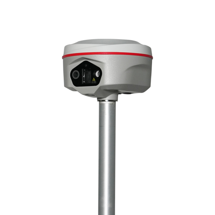
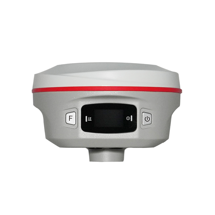
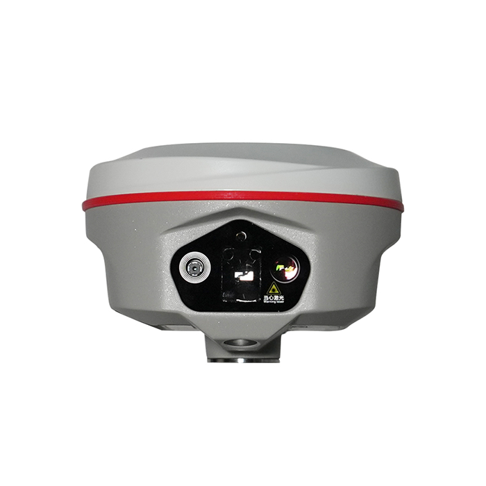
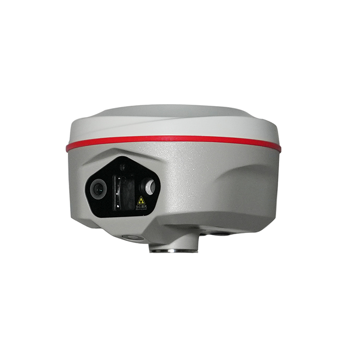

150m (standard) and up to 200m (optimal conditions) |  | 400 Hz / 0.05°/ 0.15° easy & smooth workflow | | | Video Shooting Photogrammetry Positioning |
| Satellite Tracking Ability | ||
Channels1698 channels (1808 is optional ) | Constellation GPS, GLONASS, BEIDOU, GALILEO, QZSS, SBAS | L-BandBDS PPP & Galileo HAS |
| Positioning Output Rate1-20 HZ | Initialization Time<10 s | |
| Positioning Precision | ||
UHF RTKHorizontal ±8mm +1 ppm | Network RTKHorizontal ±8mm +0.5 ppm Vertical ±15mm +0.5 ppm | |
| Static and Fast-Static Horizontal ±2.5mm +0.5 ppm | RTK Initial time 2-8s | |
| User Interaction | ||
Operation SystemLinux | Screen Display1.14’ LED, 135*240 pixel | wifiYes |
Voice Guideyes, 9 language | Data Storage16 GB internal, Support external USB storage (OTG) | Web UIYes |
| Keypad2 physical buttons | ||
| Working Capability | ||
| Laser 3R green laser, 150m range (200m in optimal condition) | Camera Video shooting camera: 8MP Laser aiding telephoto camera: 8MP AR stakeout camera: 2MP | IMU calibration-free, up to 120°, refresh rate 400 Hz, pitch & roll accuracy 0.05 °,heading accuracy 0.15° |
| Laser MeasurementShooting Laser to measure coordinate & stakeout | Visual PositioningShooting photo or video to measure coordinate | 3D ModelingProcess by Post-processing software |
Visual Stakeout with ARUses Dual-Camera to stakeout pts, lines, CAD | RadioBuilt-in transmitting and receiving, 1/2 W | Tilt Survey Inertial Measurement |
| Endurance up to 16 hours (static mode), up to 12 hours (rover mode), up to 10 hours (UHF base mode) | OTG (Field Download) yes | Electronic Bubble Yes |
| Satellite Tracking Ability | ||
Channels1698 channels (1808 is optional ) | Constellation GPS, GLONASS, BEIDOU, GALILEO, QZSS, SBAS | L-BandBDS PPP & Galileo HAS |
| Positioning Output Rate1-20 HZ | Initialization Time<10 s | |
| Positioning Precision | ||
UHF RTKHorizontal ±8mm +1 ppm | Network RTKHorizontal ±8mm +0.5 ppm Vertical ±15mm +0.5 ppm | |
| Static and Fast-Static Horizontal ±2.5mm +0.5 ppm | RTK Initial time 2-8s | |
| User Interaction | ||
Operation SystemLinux | Screen Display1.14’ LED, 135*240 pixel | wifiYes |
Voice Guideyes, 9 language | Data Storage16 GB internal, Support external USB storage (OTG) | Web UIYes |
| Keypad2 physical buttons | ||
| Working Capability | ||
| Laser 3R green laser, 150m range (200m in optimal condition) | Camera Video shooting camera: 8MP Laser aiding telephoto camera: 8MP AR stakeout camera: 2MP | IMU calibration-free, up to 120°, refresh rate 400 Hz, pitch & roll accuracy 0.05 °,heading accuracy 0.15° |
| Laser MeasurementShooting Laser to measure coordinate & stakeout | Visual PositioningShooting photo or video to measure coordinate | 3D ModelingProcess by Post-processing software |
Visual Stakeout with ARUses Dual-Camera to stakeout pts, lines, CAD | RadioBuilt-in transmitting and receiving, 1/2 W | Tilt Survey Inertial Measurement |
| Endurance up to 16 hours (static mode), up to 12 hours (rover mode), up to 10 hours (UHF base mode) | OTG (Field Download) yes | Electronic Bubble Yes |
See more specs
22

KOLIDA Instrument (KOLIDA) is a leading manufacturer of precision surveying equipment.
COMPANY PROFILE