
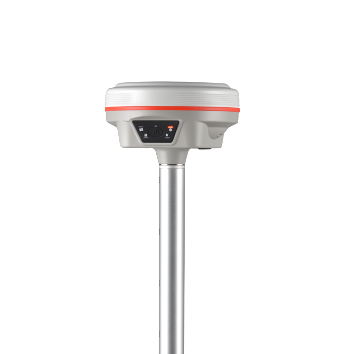

High Performance GNSS Engine |  | All Constellation Signal Tracking | | | Ultra compact and Light |
 | X-Series GNSS Engine The 1760-channel X-Series GNSS engine is designed to improve surveyor's ability to measure in more place and to reach higher precision. Four enhancement of X-Series: "Multipath Effect Mitigation", "Electromagnetic Interference Mitigation", "Anti-Vibration Shock", "Protection Against Ionospheric Disturbances". |
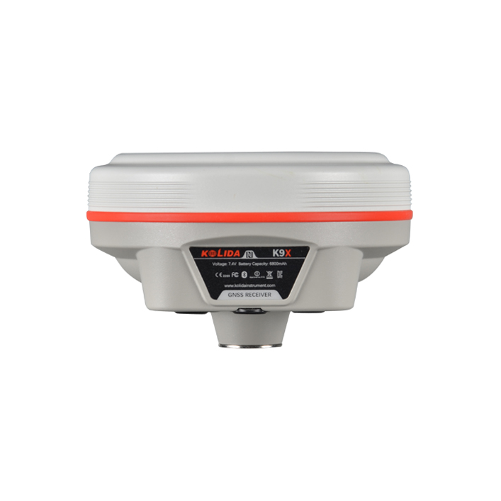
Farlink Radio, Built-in Transmitter K9X is equipped with a 2W farlink radio transceiver, in optimal condition the working range can be as far as 8km. |  |
 | Constantly Upgraded Inertial Measurement KOLIDA’s 3rd generation inertial sensor and algorithm are onboard now. The working speed and stability have been improved for 30% from the last version. When the GNSS fixed solution is lost and recovered again, Inertial sensor can remain the working status in a few seconds, no need to spend time to reactivate it... Tilt angle is up to 60 degrees, accuracy is down to 2-3cm (when tilt angle is within 30°), 5cm (tilt angle within 60°) |
|
|
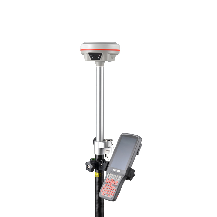
New app. New Productivity Windows CE data controller is too old technology? No problem. Simply use Ksurvey, Field Genius Android, SurvX App on your smart phone or tablet. Enjoy the smooth operation of Android platform ! | Post-processing Sw. KGO 2022 version KOLIDA GEO Office integrates static data processing & Kinematic data adjustment (Long baseline processing function is optional) |
| Satellite Tracking Ability | ||
Channels1760 channels | Constellation GPS, GLONASS, BEIDOU, GALILEO, QZSS, SBAS | L-BandReserved |
| Positioning Output Rate1-50 HZ | Initialization Time7 s | |
| Positioning Precision | ||
UHF RTKHorizontal ±6mm +0.5 ppm | Network RTKHorizontal ±6mm +0.5 ppm Vertical ±10mm +1 ppm | |
| Static and Fast-Static Horizontal ±2.5mm +0.5 ppm | ||
| User Interaction | ||
Operation SystemLinux | Screen DisplayN/A | wifiYes |
Voice Guideyes, 8 language | Data Storage4 GB internal, 32 GB external | Web UIYes |
| Keypad1 physical button & 5 Indicator Lights | ||
| Working Capability | ||
RadioBuilt-in transmitting and receiving, 2W | Tilt Survey Inertial Measurement | Electronic BubbleYes |
| Endurance up to 12-15 hours (rover mode) | ||
See more specs
6290
K9X 2024.pdf
PDF [1.868MB] download
KOLIDA Instrument (KOLIDA) is a leading manufacturer of precision surveying equipment.
COMPANY PROFILE


