2020-04-27

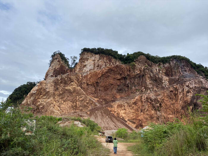
In the mountainous areas with rugged terrain and high level fluctuations, using traditional measurement methods takes time and effort but still is difficult to achieve the good results.

When we use total station, it is affected by weather, intervisibility, measuring range, bad road. GNSS RTK often can’t get good result because locked satellites are too few, poor signal, multi-path effects, due to complex terrain.

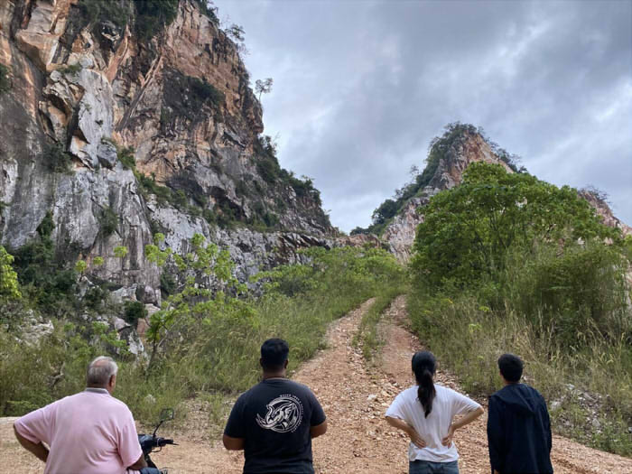
When using ground surveying instruments, it is also necessary to accurately measure the edge of the ore body. However, the edge of the mining area is often difficult to reach. Sometimes, rockfall and landslide occur at the measurement site, which is very dangerous. Every measurement is extremely great challenge for the surveyor.
UAV aerial photogrammetry survey has high efficiency and fast speed. But it cannot measure the ground points under canopy. And If there are not enough image control points, elevation accuracy cannot be guaranteed.

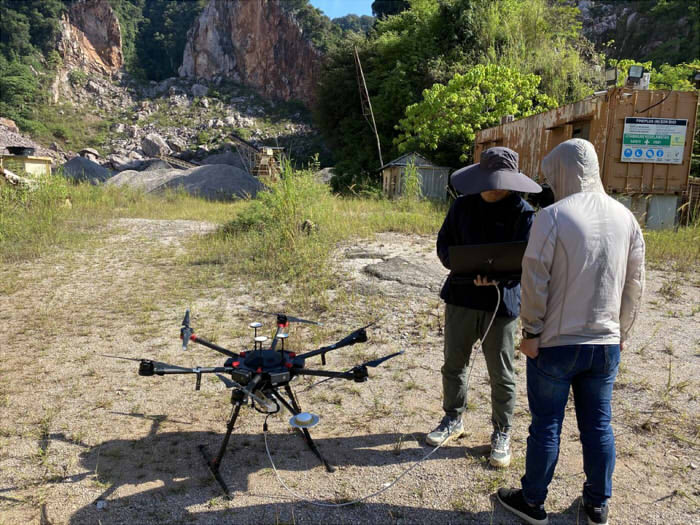
LiDAR measurement is currently the most efficient measurement method. Laser beams can penetrate vegetation, surveying safely and quickly.
See the detailed job record from below:
Operation Video: https://www.youtube.com/watch?v=0VXdHt2zHRw&feature=emb_title
See the workflow from:
Google Drive: https://drive.google.com/file/d/1i0zYo8txZ8iFwJwvN41fSDkPYT6mqyeC/view