
K3 (Discontinued in 2020)
The lightest in the class |  | All Constellation Signal Tracking | | | Built-in Radio |
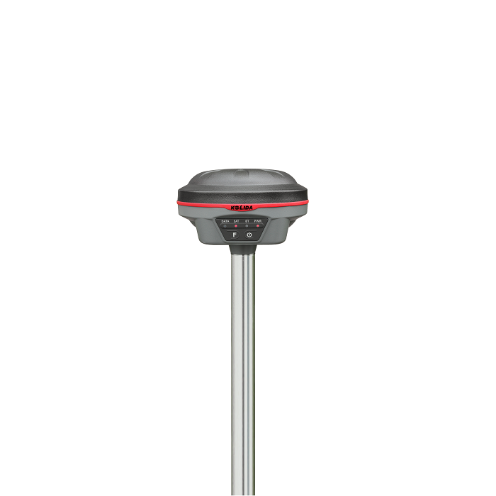
 | Make It Small to Minimize Fatigue The diameter of the K3 is only 13cm, height only 8.53cm, and the weight is only 820g. It is as small as an apple that you can even put it into your pocket. |
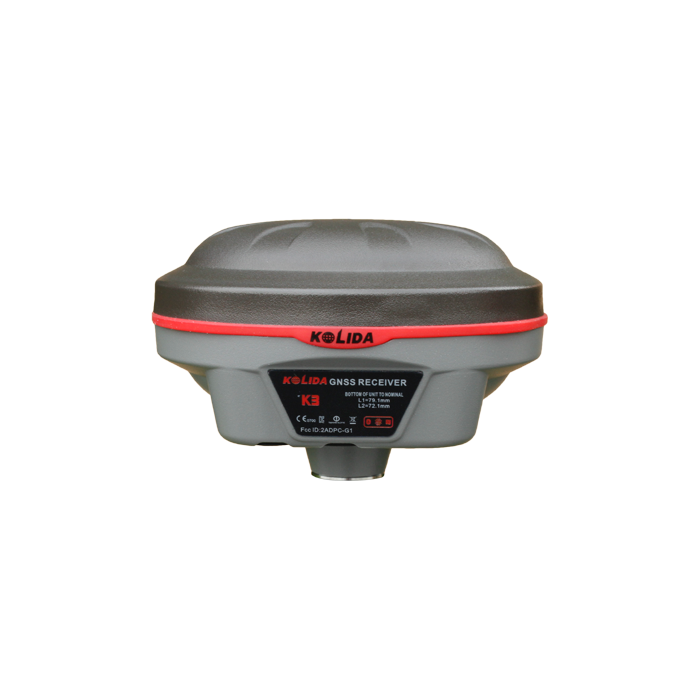
600 channels, Enhanced BEIDOU. K3 is equipped with a high performance Kolida K800 series GNSS board which has 600 channels and is capable to support multiple satellite constellations: GPS, GLONASS, BEIDOU and GALILEO, including the latest Beidou-3 system. |  |
| High Technology Integration GNSS antenna, Bluetooth, wifi module are integrated into one board, which helps to save the internal space of K3, making the signal better and performance more stable. |
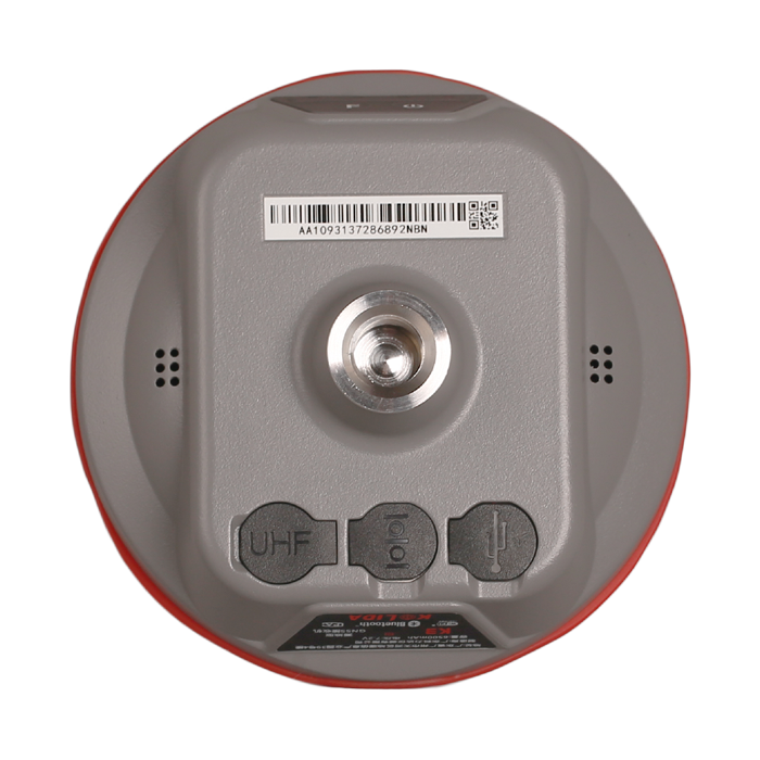
Fully-sealed Rugged & Durable K3 is able to withstand 2 meters pole drop onto the cement ground naturally and fully protected against blowing dust. 4 hours quick charge is enough to enable K3 a 14 hours of using time. |
|
| New Case Easy to Carry The dimension of the new carrying case of K3 is only 37cm x 30.5cm x 16.9 cm, with instrument inside it weights only 4.9kg. The case is made of wear-resistant materials. |
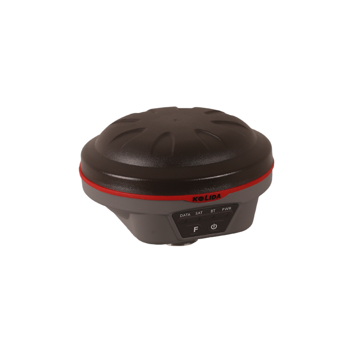
Practical Functions See what others can't. K3 employs Linux system, it helps surveyors to accomplish their missions easier, faster and more accurate by delivering exceptional quality and innovative features. (at the moment, K3 doesn't support Tilt Survey and SMS Remote Control function.) |  |
|
|
New app. New Productivity Windows CE data controller is too old technology? No problem. Simply download SurvX App on your smart phone or tablet. Enjoy the smooth operation of Android platform ! | Post-processing Sw. Free of Charge KOLIDA GEO Office integrates static data processing & Kinematic data adjustment |
| Satellite Tracking Ability | ||
Channels600 | ConstellationGPS, GLONASS, BEIDOU, GALILEO, SBAS | MSS L-BandPreserved |
| Positioning Output Rate1Hz-50Hz | Initialization Time<10s | |
| Positioning Precision | ||
UHF RTKHorizontal ±8mm + 1 ppmVertical ±15mm + 1ppm | Network RTKHorizontal ±8mm + 0.5ppmVertical ±15mm+0.5ppm | SBASTypically <0.5m 3DRMS |
| Static and Fast Static Horizontal ±2.5mm + 0.5ppmVertical ±5mm + 0.5ppm | RTK Initialization Time 2-8s | |
| User Interaction | ||
Operation SystemLinux | Web UIYes | WifiYes |
| Voice Guide Yes | Data Storage 8GB internal; up to 32GB external. | |
| Working Capability | ||
RadioBuilt-in 1/2/3W | External Power Resource DC 9-28 V | Electronic BubbleYes |
| Endurance >14 hours (static mode), 10to 14 hours (rover mode) | OTG Function (Field Download) yes | Other Function Mobile Reference Station (wifi) |
See more specs
5737
K 3.pdf
PDF [2.467MB] download
KOLIDA Instrument (KOLIDA) is a leading manufacturer of precision surveying equipment.
COMPANY PROFILE


