


 | | |
|
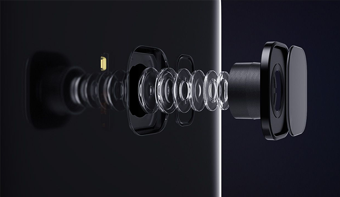
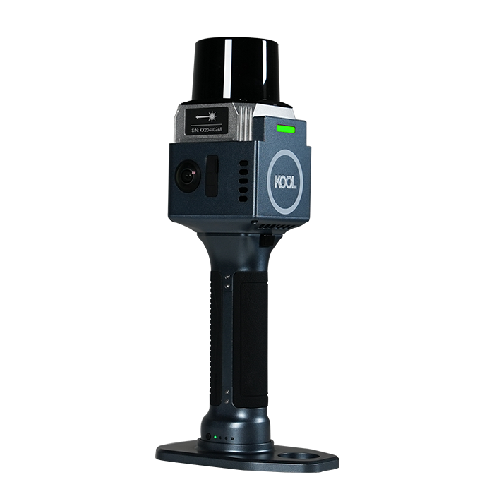
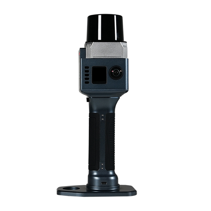
| Vivid Colorization, Detail-rich Deliverables Equipped with dual 12MP cameras, KOOL captures high-quality image data with rich textures and natural colors. Advanced colorization algorithms accurately fuse image data with point cloud, delivering realistic colorized point clouds with fine details. |
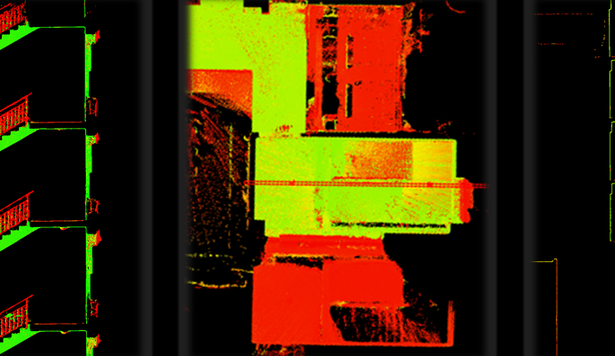
INS + SLAM Fusion for Reliable Mapping With a high-precision IMU with 0.5°/h bias instability built-in, the KOOL can accurately track motion in feature-poor environments such as corridors and multi-level staircases and ensure accurate and stable scanning result. |
|
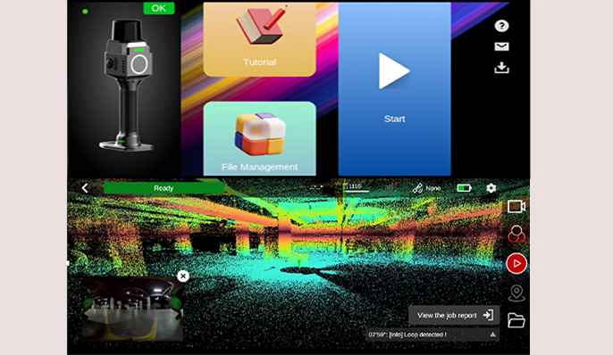
| Field Work Control App: MAP STAR The mobile Android app supports collection control, file management, enables real-time viewing of panoramic imagery and true-color point cloud and firmware upgrades, etc. • Users can switch between RGB, Intensity, and Elevation modes to verify scan quality and completeness directly in the field. • Dynamic trajectory tracking with real-time survey-quality visualization • Tutorial guide is available inside App |
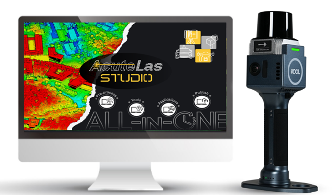
Pre-Processing Software: AcuteLas Studio The software optimizes point cloud quality through denoising, filtering, and RTK/GCP registration. It supports colorized point cloud, mesh, 3DGS, and CAD outputs, with built-in tools for measurement, volume calculation, etc. AcuteLas Studio can process data captured from different source: SLAM scanner, Terrestrial scanner, Mobile LiDAR Scanner. One click, full automation. |
|
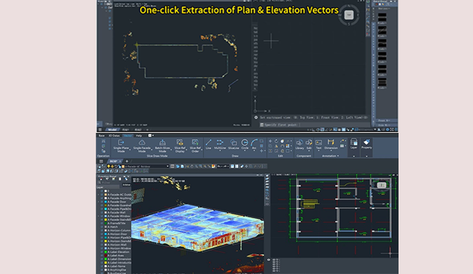
| From Point Cloud to Drawing: CAD Builder CAD Builder is to streamline the drafting process and quickly create architectural drawings. • Users can directly operate on point cloud data without converting it into RCP or MESH formats beforehand. • Users can draw directly on slices without repeatedly exporting them to PNG or DXF files. • The software automatically detects rooms, converts them into editable vector graphics, and enables one-click extraction of plan and elevation vectors. •one-click alignment of plan, elevation, and section views, alongside flexible slicing and dynamic adjustment. • Equipped with a full set of drafting tools, and supports exporting drawings directly to DWG and PDF formats. |
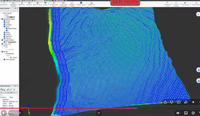
Advanced Processing Plugin: Rebuild 3D Rebuild 3D is designed to turn 3D laser scanner and SLAM point cloud data into actionable design deliverables. (This plugin is optional) • Architectural 3D Mesh Generation • One-Click RCP Export • Cross-Section & Profile Extraction • Orthophoto and X-ray Orthophoto Generation • Mining and Topography Modules • …… |
|
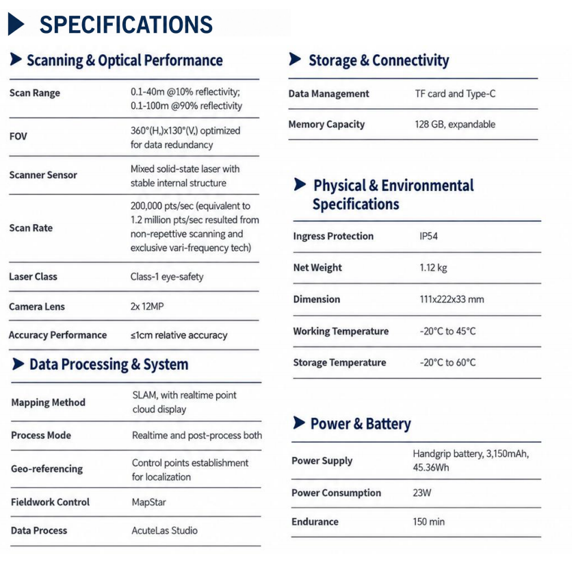
See more specs
666


KOLIDA Instrument (KOLIDA) is a leading manufacturer of precision surveying equipment.
COMPANY PROFILE