English[Change]
LIDAR UAV
GNSS SYSTEM
TOTAL STATION
THEODOLITE LEVEL
TOOLS ACCESSORIES
ABOUT US
NEWS
VIDEO
CONTACT US
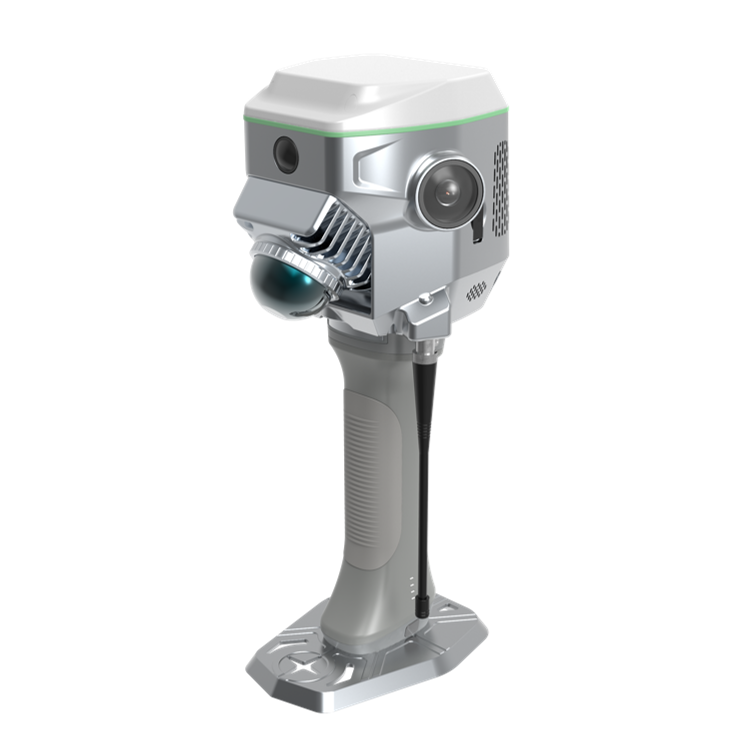
ME Plus integrates GNSS RTK, Laser Scanning, Visual SLAM technology, delivers centimeter-level accuracy.
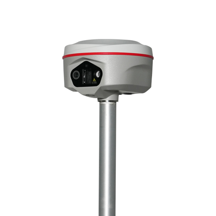
K60 Max Pro integrates 200m laser ranging,400Hz high-speed IMU and triple-camera, delivering high-precision field survey
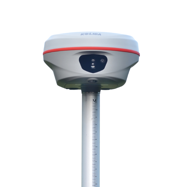
Redefine your perspective and go beyond the ordinary. 2025 Flagship model.
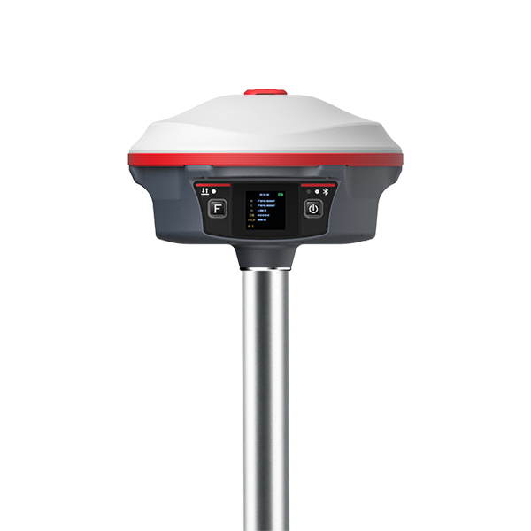
The best accuracy and stability! Expert's choice.