
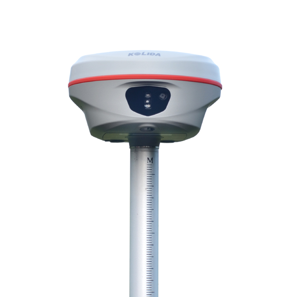
Laser aiming and measuring |  | Visual + AR Stakeout | | | Advanced UHF Radio |
Laser helps you, Literally. The old way to do more work and obtain more result was to work harder and work bravely. But it makes surveyor tired. The all-new laser RTK way is to add a new laser module on hardware and software. The resuilt is 20% even more efficient than you'd get from a traditional GNSS RTK. And it kicks in the instant you press the botton on controller app. The laser module and GNSS module work together seamlessly to measure the target that you were difficult to reach before. Until you experience it, you won't know what the future holds. See the example video from https://www.youtube.com/watch?v=ZcpqyoS47RI |
|
 | Driven by Intuition. With the new Visual & AR Stakeout function, every journey is an intuitive one. A new 8MP front camera and 2MP bottom camera combining with AR technology provide precise direction and dynamic responsiveness, perfect for those who prefer to lead, not follow. Let your intuition lead you to the right destination. Watch video at https://www.youtube.com/watch?v=M-vjnyzKseM |
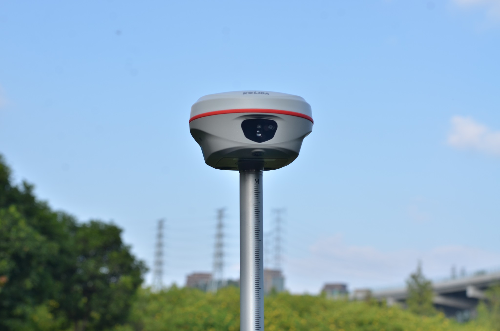
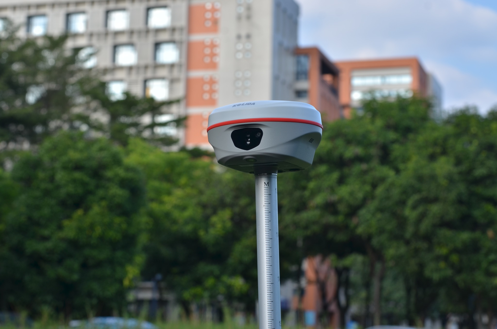
Superior Utility & Stability K60 can track signals of all constellations satellites at the same time and capture weak signals under canopies hence better success rate and speed of obtaining a fixed solution. It is possible to get fixed where previously under the dense forest or surrounded by buildings cannot. PPP and HAS are available. |  |
 | Ksurvey App, Increase Your Output. Ksurvey App features a series of practical and unique functionalities: Measure & Draw, CAD Drawing, Visual Positioning, CAD Stakeout, Area Division... (Video: https://www.youtube.com/playlist?list=PL3pUfw29oHQPucI0RkexQOyANywA2efjf) Ksurvey also enable users to work it with Kolida total stations. |
Kolida GEO Office, Ideal GNSS Data Processor KGO is designed to help surveyors to process static data, PPK data, photogrammetry data accurately and productively. 3D modeling function has been added in 2024. |  |
| Satellite Tracking Ability | ||
Channels1698 channels | Constellation GPS, GLONASS, BEIDOU, GALILEO, QZSS, SBAS | L-BandBDS PPP & Galileo HAS |
| Positioning Output Rate1-20 HZ | Initialization Time2-8 s | |
| Positioning Precision | ||
UHF RTKHorizontal ±8mm +1 ppm | Network RTKHorizontal ±8mm +0.5 ppm Vertical ±15mm +0.5 ppm | |
| Static and Fast-Static Horizontal ±2.5mm +0.5 ppm | RTK Initial time 2-8s | |
| User Interaction | ||
Operation SystemLinux | Screen DisplayNot Available | wifiYes |
Voice Guideyes, 8 language | Data Storage16 GB internal, 64 GB external | Web UIYes |
| Keypad1 physical buttons | ||
| Working Capability | ||
| Laser MeasuringLaser aiming and measuring coordinate | Visual Stakeout with AR Uses Dual-Camera to stakeout pts, lines, CAD | OTG (Field Download) yes |
RadioBuilt-in transmitting and receiving, 1/2 W | Tilt Survey Inertial Measurement | Electronic BubbleYes |
| Endurance up to 16 hours (static mode), up to 12 hours (rover mode), up to 10 hours (UHF base mode) | ||
See more specs
5240
K60 en 241207.pdf
PDF [2.088MB] download
KOLIDA Instrument (KOLIDA) is a leading manufacturer of precision surveying equipment.
COMPANY PROFILE