


2026-08-28
A Point Cloud Profile / Section refers to using an imaginary plane (or curved surface) to slice a specific section through a 3D point cloud, extracting the point or line data within that sections thickness.
A profile can be a longitudinal elevation profile extending along a road or tunnel centerline, a stepped polyline section along any axis of a building, or a continuous terrain profile mapped to ground elevations.
Extracting profiles individually or in batch from point clouds primarily solves the following core engineering problems:
A single profile is typically used for precise diagnosis and evaluation at specific key nodes, complex structures, or sensitive locations:
In road, railway, or pipeline design, extracting a single continuous profile along the centerline allows engineers to read slope gradients, elevation changes, and vertical curve radii directly, supporting traffic capacity and drainage design.
Extracting a single profile along the centerline of stadiums, high-bay industrial plants, or airport terminals enables direct measurement of minimum vertical clearance, ensuring smooth passage for oversized equipment or specialized vehicles.
Architectural interiors often feature split levels, elevator shafts, or stairwells. A single stepped section can slice through different rooms and stairs simultaneously, clearly presenting spatial interconnections and structural elevations across floors.
For damaged walls, cracked dams, or landslide edges, a single profile slices through the location of maximum damage to measure depth changes and structural displacement, providing accurate geometry for emergency repair work.
Batch extraction generates a series of continuous profiles by establishing fixed intervals (e.g., slicing every 1 m, 5 m, or 10 m) or following specific axis sequences:
In drone aerial surveys or large-scale topographic mapping, batch-extracting evenly spaced north-south and east-west terrain profiles generates elevation grids (DEM/DSM) and allows high-precision contour lines to be fitted automatically at profile intersections.
In mine excavation, roadbed construction, or hydraulic canal projects, batch-extracting continuous cross-sections perpendicular to the centerline calculates the cross-sectional area of each slice. Combined with the distance between sections (average end-area method), this yields highly accurate total earthwork volumes.
In tunnel operations, batch-extracting hundreds or thousands of ring-shaped profiles every 0.5 meters along the route and comparing them against standard design circles generates a continuous convergence deformation trend map, identifying precise chainages where bulges or settlement occur.
Batch profiles enable continuous inspection along railways or highways to check whether trees, buildings, or bridge piers encroach upon the structure clearance envelope, ensuring safe transit.
For bridge box girders, aerodynamic vehicle bodies, towers, or curved curtain walls, batch-extracting continuous profile lines along an axis serves as a critical pre-processing step for loft modeling in software like Rhino or Revit.
Single Profile Deliverable: A single CAD section drawing (DWG) or an illustration embedded in an analytical report.
Batch Profile Deliverables: Batch DWG cross-section drawings, volume calculation sheets, line-wide deformation heatmap charts, and related report documentation.
The core purpose of extracting point cloud profiles is to convert high-dimensional, massive, and unstructured 3D point cloud data into efficient, quantifiable 2D analysis tools that align with traditional engineering practices.
The Rebuild3D plugin built into AcuteLAS Studio 2026 includes profile extraction capabilities. Check out the video below for step-by-step instructions.
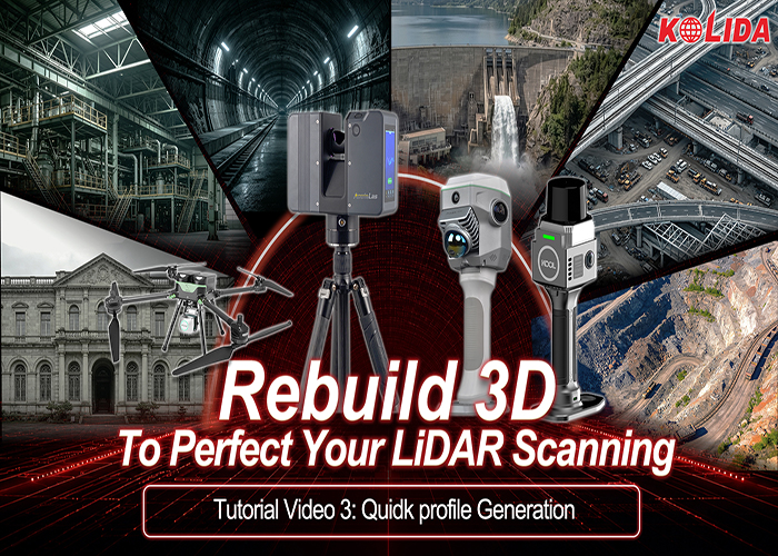
videos : https://youtu.be/vIJHFWxZ7Sw?si=6KbTzpynac631JGG




KOLIDA Instrument (KOLIDA) is a leading manufacturer of precision surveying equipment.
COMPANY PROFILE