


2026-08-14
RCP (ReCap Project) is an official point cloud project file format developed by Autodesk (usually accompanying RCS files that store the indexed point cloud data).
If you or your clients use Autodesk software in your daily workflows, exporting point clouds to the RCP format is not just an option—it is standard practice for project delivery and efficient collaboration. It allows you to seamlessly, smoothly, and precisely bring the physical world into Autodesk digital design software such as AutoCAD, Revit, Civil 3D, Navisworks, and Inventor.
· Function: AutoCAD supports inserting RCP point clouds as an External Reference (Xref).
· Practical Value: Drafters can enable object snaps in CAD (AutoCAD supports snapping directly to points, nodes, and slice edges in RCP point clouds) to quickly trace highly accurate floor plans, elevations, and section views.
· Function: Load RCP point clouds directly into Revit as a background template.
· Practical Value: Architects and BIM engineers can model walls, route pipes, and place beams/columns directly on the "precise 3D geometric framework" of the point cloud. This is the core workflow in building renovations, factory revamps, and historic architecture digitization—ensuring that the BIM model perfectly matches real-world measurements and preventing job site conflicts.
· Function: Civil 3D can directly read RCP point clouds and extract ground points from them.
· Practical Value: For roads, railways, water conservancy, or mining projects, RCP data can be converted directly into surfaces. These surfaces are used to accurately calculate earthwork cut-and-fill volumes, draw cross-sections and longitudinal profiles, and perform slope analysis.
· Function: Overlay new 3D design models (e.g., piping or mechanical equipment) directly onto the as-built RCP point cloud.
· Practical Value: Before construction or equipment installation, the system automatically checks if new piping interferes with existing beams, columns, or original equipment on-site. Identifying clashes digitally prevents costly job-site downtime and rework.
Compared to generic point cloud formats (such as LAS, E57, PTS, PLY), exporting to RCP offers the following indispensable advantages:
1) Ultimate Loading Performance (Pyramid Indexing)
RCP/RCS utilizes a highly optimized spatial indexing system. Even when loading massive point clouds spanning hundreds of GBs and billions of points, AutoCAD or Revit can display them in milliseconds. Zooming and panning remain completely smooth, as the software dynamically loads only the points within the current view.
2) Preserves Scan Stations and Panoramas (RealView)
If the original scan includes station location data from terrestrial scanners (e.g., Faro, Leica, Trimble, SOUTH), RCP retains these scan positions. Double-clicking a station enters a 360° full-color panoramic view (RealView), allowing designers to inspect site details immersively.
3) Rich Attribute Data Transmission
RCP perfectly inherits RGB true color, LiDAR intensity, surface normals, and defined coordinate systems, satisfying display and analysis requirements across various engineering phases.
4) Seamless Native Ecosystem Support
Autodesk software often requires a lengthy import and conversion process for generic LAS or E57 files. RCP, on the other hand, is plug-and-play, ensuring zero loss of coordinates and elevations.
Summary
If you collect massive point clouds using laser scanners or drones, Autodesk software (AutoCAD, Revit, Civil 3D, Navisworks, Inventor, etc.) cannot directly, efficiently, or smoothly load and utilize this data without exporting to the RCP format.
In the past, users had to rely on Autodesk ReCap software most of the time to convert raw formats like LAS into RCP/RCS project files. Now, using the Rebuild3D plugin built into AcuteLAS Studio, you can convert files directly—saving both time and cost. Check out the video below for step-by-step instructions.
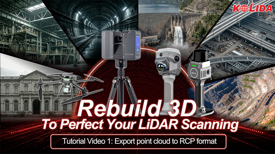
videos : https://youtu.be/2CjkebshGpg?si=EESymByrQM5mDLnY




KOLIDA Instrument (KOLIDA) is a leading manufacturer of precision surveying equipment.
COMPANY PROFILE