


2026-09-10
Simply put, a Point Cloud consists of "unconnected data points," while a 3D Mesh is a "continuous surface created by connecting points into faces."
Elements: Composed of massive 3D coordinate points $(x, y, z)$, where each point may also carry color (RGB) or laser reflection intensity data.
Core Characteristics: Discrete with no topological structure. Points share no line or face connections between them, rendering the interior hollow or sparse.
Primary Sources: Raw data acquired directly from LiDAR, 3D laser scanners, and drone aerial surveys (photogrammetry).
Elements: Composed of vertices, edges, and faces (typically triangles or quadrilaterals).
Core Characteristics: Continuous with explicit topological relationships. Faces enclose space to form solid objects or surfaces with defined interiors and exteriors, capable of supporting high-resolution surface texture mapping.
Primary Sources: Converted from point clouds using surface reconstruction algorithms (e.g., Poisson Surface Reconstruction) or created directly in 3D modeling software (such as Blender, CAD, or Maya).
Data Structure: Point clouds are unordered sets of points, whereas meshes possess complex vertex-edge-face topological structures.
Surface Continuity: Point clouds are discontinuous (gaps appear when zoomed in), while meshes feature continuous, fully enclosed surfaces.
Physical Properties: Point clouds cannot be used directly for volume calculations or physical collision detection; meshes can.
Lighting and Rendering: Meshes fully support GPU lighting, shadows, reflections, and material maps; point clouds do not.
Processing Stage: Point clouds serve as raw representations during data collection and surveying, whereas meshes represent the final format for rendering, interaction, and manufacturing.
Surveying & Engineering Professionals: Point clouds provide the most authentic, lossless raw measurement data. Surveyors and engineers work directly with point clouds to perform centimeter-level (or millimeter-level) distance measurements, stockpile volume calculations, and elevation analysis without fitting errors introduced by meshing.
3D Printing & Industrial Design: 3D printers cannot print point clouds. Slicing software requires a watertight solid body, necessitating watertight 3D meshes (such as STL or OBJ formats) to slice and print physical objects.
Game Development, Animation & VR/AR: Real-time rendering engines (e.g., Unreal Engine, Unity) cannot efficiently render massive raw point clouds directly. Point clouds must be converted into meshes with applied textures to achieve photorealistic lighting and enable collision detection (allowing virtual characters to walk on surfaces).
Autonomous Driving & Robotics Perception: Vehicle-mounted LiDAR generates real-time point clouds, which systems use directly to extract obstacle locations and contours.
The Rebuild3D plugin built into AcuteLAS Studio 2026 supports high-quality mesh generation. Check out the video below for step-by-step instructions.
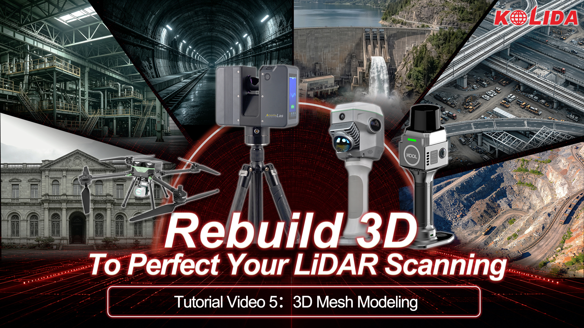
videos : https://www.youtube.com/watch?v=GTQNsxOF2qc




KOLIDA Instrument (KOLIDA) is a leading manufacturer of precision surveying equipment.
COMPANY PROFILE