
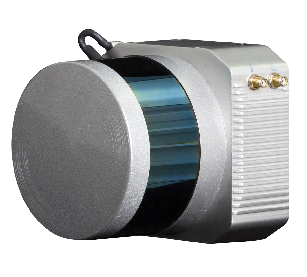
Light Weight Mini LiDAR System V100
Laser Measurement Range |  | Angle Resolution(Horizontal/Azimuth) | | | Relative Accuracy |
Field Of View(Horizontal) | | Post-processing Position H/V | | | Recommended scanning height AGL |
Light Detection and Ranging (LiDAR) is a proven approach to creating fast and accurate terrain models for applications in many types of industries. The technology is based on a scanning laser combined with both GNSS and inertial technology to create a three dimensional set of points (point cloud), and airborne lasers can create a number of mapping products for clients, such as, DEM,DSM, Contour line, Vectorized map, etc.
|
| |
DEM | DSM | |
Vectorized map |
Contour line |
 | Package At present, we can provide V100 LiDAR measuring sytem based on UAV or SUV. |
UAV-Based UAV-Base LiDAR sytsem is the most popular laser scanning sytsem at present, we have done a plenty of test with this system in the projects. |  |
| Package At present, we can provide V100 LiDAR measuring sytem based on UAV or SUV. |
UAV-Based UAV-Base LiDAR sytsem is the most popular laser scanning sytsem at present, we have done a plenty of test with this system in the projects. | |
See more specs
712
Mini LiDAR System SZT-V100.pdf
PDF [381.834KB] download
KOLIDA Instrument (KOLIDA) is a leading manufacturer of precision surveying equipment.
COMPANY PROFILE


